Accident Details
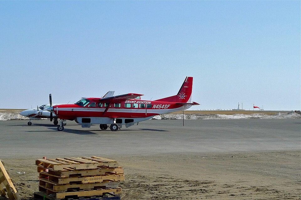
On January 15, 2008, about 1439 Alaska Standard Time, a Cessna 208B airplane, registration N454SF, sustained substantial damage when it collided with snow-covered terrain during the landing flare at Bethel Airport, Bethel, Alaska. The airplane was being operated as a visual flight rules (VFR) cross-country air medical flight under Title 14, CFR Part 135. The aircraft was operated by Grant Aviation Inc., Anchorage, Alaska.
The airline transport certificated pilot, a paramedic passenger, and two medical patients/passengers were not injured. A second paramedic passenger received minor injuries. Visual meteorological conditions prevailed, and VFR company flight following procedures were in effect. The flight originated at the Sheldon Point Airport, Sheldon Point, Alaska, about 1315.
Damage and Initial Findings
According to the director of maintenance for the operator, the airplane sustained structural damage to the firewall and forward fuselage bulkhead. During a telephone conversation with the National Transportation Safety Board (NTSB) investigator-in-charge, the director of operations reported that the pilot had planned to land on runway 18 at Bethel. Instead, the airplane touched down in a snow-covered area of the airport between the runway and the adjacent taxiway, collapsing the nose landing gear.
Weather Conditions
At 1437, a special weather observation at Bethel reported: wind 160 degrees (true) at 17 knots; visibility 10 statute miles; clouds and sky condition 1,400 feet scattered, 2,900 feet scattered, 3,500 feet broken; temperature 30°F; dew point 27°F; altimeter 29.36 inHg; remarks included occasional localized low drifting snow and blowing snow.
Pilot Report
In the Pilot/Operator Aircraft Accident Report (NTSB Form 6120.1) submitted by the operator, the pilot reported that during the landing approach, blowing snow and flat lighting conditions contributed to his difficulty in discerning the correct location of the runway. He stated that he "aimed for the darker area between the runway and the taxiway, believing this was the runway."
Operator Recommendations
In the "Recommendation (How could this accident have been prevented)" section of the NTSB Form 6120.1, the director of operations said that the depression between the runway and the taxiway had been filled with snow by runway maintenance personnel during snow removal operations. He indicated that the area had the illusion of a hard surface, and landing during reduced visibility due to blowing snow required the pilot to take advantage of any and all available resources to ensure a successful outcome. He suggested that pilots could request air traffic control tower (ATC) personnel to activate the runway lighting, and the pilot could also use the instrument landing system (ILS) localizer as a means of aligning with the centerline of the runway.