Accident Overview
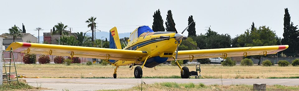
On 12 June 2018, at 18:04 local time, an Air Tractor AT-802 aircraft, registration EC-GVN, crashed into the Mediterranean Sea approximately 2000 meters off the coast of Cala Solleric, in the municipality of Pollença, Mallorca. The aircraft was operated by Martínez Ridao Aviación S.L. and was conducting an aerial observation and surveillance flight for the Nature Institute of the Balearic Islands (IBANAT). The flight was performed under visual flight rules (VFR).
Flight History
The aircraft was based at Son Bonet aerodrome on Mallorca and was part of the aerial firefighting resources. On the day of the accident, the pilot, the sole occupant, began duty at 10:00 and completed pre-flight checks. The aircraft took off at 17:20, following Route 32 along the Tramuntana Mountains. The weather was not limiting, with few clouds and no convective activity. No emergency messages were transmitted during the flight.
Wreckage and Investigation
The wreckage was located three days later at a depth of 60 meters. A GPS device recovered from the wreckage provided flight path data up to the moment of impact. The investigation focused on a 23.5-km segment from Cape Formentor to the crash site, noting that the flight path differed significantly from previous flights in the area. No evidence of technical, meteorological, or other problems was found.
Conclusions
The accident is consistent with a controlled flight into water preceded by a sudden descent. The cause of that descent could not be determined.