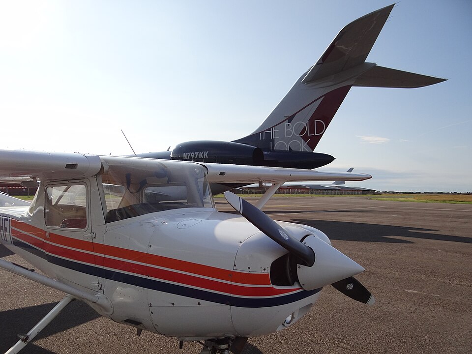
Background
On 8 September 2020, a Reims Cessna F152 (registration G-BHFI, serial number 1685, year of manufacture 1980) was on a solo navigation exercise from Blackpool Airport. The pilot, a student with 49 total flying hours (48 on type), had completed the technical aspects of his Private Pilot Licence course and was building solo hours. The aircraft was powered by one Lycoming O-235-L2C piston engine.
Flight Details
The planned route was Blackpool to Barnoldswick, Settle, Lancaster, and return, including a diversion. The pilot and instructor had reviewed weather and agreed Visual Flight Rules conditions were suitable, with contingency plans for poorer weather. On the first leg, the pilot deviated north to avoid poor weather near Longridge. Approaching Clitheroe, he again deviated north to maintain visual conditions. He then decided to practice a diversion to Higher Bentham. Flying north towards the Wenning Valley, he saw unsuitable weather but also blue sky toward Lancaster, so continued. At 1608 UTC, the aircraft was at 1,475 ft and 81 kt. Shortly after, the aircraft entered instrument meteorological conditions, possibly due to the pilot focusing inside the cockpit.
Following training, he commenced a 180° turn to regain visual conditions, but during the turn the aircraft descended from 1,600 ft to 1,175 ft in one minute, turning 300°, and the pilot experienced disorientation. He applied full power to climb above 2,000 ft, aware of Ward's Stone (elevation 1,837 ft). At about 1,675 ft and 68 kt, he performed two 360° turns to stabilise. During the first turn, he saw the ground close and pulled up. Halfway through the second turn, at 1,475 ft and 62 kt, the aircraft flew close to Ward's Stone. The pilot took evasive action but the right main landing gear struck the ground. The impact damaged the windscreen and caused an initial loss of control, which the pilot recovered. He transmitted a MAYDAY, relayed by another aircraft to Warton Radar, and set transponder code 7700. He climbed to 2,650 ft and followed radar vectors from Warton Radar, regaining visual conditions and landing at Blackpool.
Meteorological Conditions
Pre-flight, the pilot and instructor reviewed Met Office charts, Terminal Aerodrome Forecasts, and Meteorological Aerodrome Reports. Blackpool's TAF and METARs showed few or scattered clouds below the Minimum Safe Altitude for the route.
Aircraft Damage
The impact disrupted the right main landing gear and broke the top of the windscreen, which detached. The resulting cabin noise from wind and an open passenger door made two-way radio communication almost impossible.
Analysis and Findings
The Declared Training Organisation identified four potential causal factors: 1. Minimum Safe Altitude (MSA) settings: the leg's planned altitude was 2,000 ft, 500 ft below the MSA. The instructor had corrected an error on another leg but not this one. 2. Non-diagnosis of serious cloud cover: the pilot encountered multiple weather indicators before the incident but did not recognise the deteriorating conditions. 3. Low hours and inexperience likely delayed decision making and led to spatial disorientation, resulting in an uncommanded descent. 4. Confirmation bias: the pilot saw instances of bad weather followed by good weather, reinforcing the perception that continuing was safe.
The report concluded that the Controlled Flight into Terrain was the result of inadvertent entry into IMC while attempting the navigation exercise, with possible causes including inexperience, flying below MSA, failure to recognise weather deterioration, and expecting improvement.
Safety Actions
The training organisation planned to:
- Reinforce weather data review procedures for all personnel.
- Develop and issue an MSA and Maximum Elevation Figure refresher training pack.
- More diligently review MSA selection and discuss errors in detail.