Background
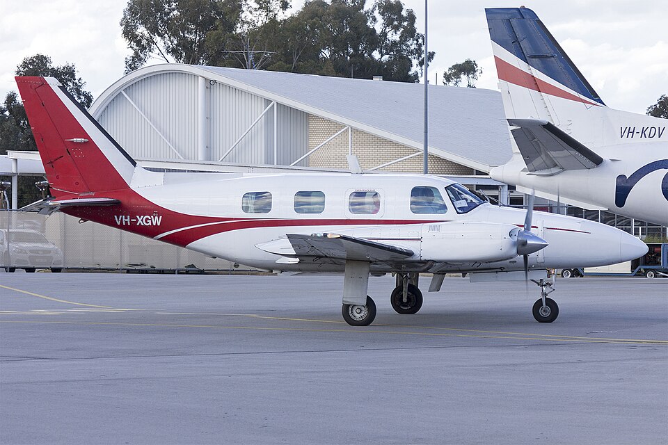
On the afternoon of 22 March 2021, the pilot of VH-XGW departed Dubbo for Bankstown. The flight was conducted under instrument flight rules due to prevailing weather conditions, requiring an instrument approach to land at Bankstown Airport.
Tracking Tolerance Exceedance
Air traffic control cleared the aircraft for a straight-in instrument approach to runway 11C. As the aircraft passed abeam the intermediate approach fix, it was within the required half-scale deflection. However, the aircraft progressively diverged from the required track. Approaching the final approach fix, the combination of reducing track tolerance and continued divergence resulted in full-scale deflection, or 0.3 NM track displacement. This placed the aircraft outside the surveyed obstacle-free area at 1,100 ft, well below the Bankstown 15 NM minimum safe altitude of 2,500 ft. The pilot reported that visual flight conditions had not been established at that point. Despite the requirements of the instrument approach and ATC instruction, the pilot did not conduct the published missed approach procedure.
Descent Below Minimum Descent Altitude
After initially acknowledging an ATC missed approach instruction, the pilot requested clearance for a circling approach while continuing the descent. During the following 30 seconds, the aircraft descended out of cloud, and the pilot reported being visual to ATC. The pilot also advised checking the distance readout to Bankstown Airport and confirmed the aircraft was within the aerodrome CAT B circling area. ATC then cleared the aircraft to track for final runway 11C. The pilot initiated descent from MDA at the CAT B circling boundary, intending to maintain visual contact with obstacles at the minimum permitted obstacle clearance height. The pilot considered this the safest option given the weather and lack of weather radar. Such maneuvering was contrary to the intention of a circling approach, which is normally performed within the surveyed circuit area. Compared to the straight-in approach descent profile, it resulted in reduced obstacle clearance, increased pilot workload, and increased risk of an unstable approach.
Loss of Visual Reference While Below MDA
Shortly after entering the CAT B circling area, with the pilot reportedly having visual contact with the runway environment, the aircraft entered a rain shower. To maintain visual flight conditions, the pilot commenced a left turn away from the runway, continuing into the first of two left orbits. During these orbits, the aircraft exited the CAT B circling area and descended to around 400 ft. The pilot stated the aircraft was maintained within the larger CAT C circling area and that required obstacle separation was maintained. However, flight surveillance data indicated the aircraft descended below the minimum altitude required to maintain separation from terrain. ATC, expecting operation within CAT B limits as per the flight plan, twice provided terrain alerts to the pilot. When operating below MDA, collision with terrain or obstacles is the immediate threat. Obstacle clearance is assured only within the straight-in approach path and circling area; outside those, separation depends on visual acquisition. Continuation below MDA requires the pilot to continuously maintain visual reference with the runway. Shortly after declaring visual, visibility deteriorated, prompting the turn away. The pilot stated visual reference was lost only momentarily, but during left turns away from the airport, the runway environment would have been obscured by the aircraft's structure for significant periods. Despite this, the pilot persisted with the approach and landing rather than conducting the published missed approach. Continuation of the approach resulted in loss of obstacle clearance assurance and increased risk.