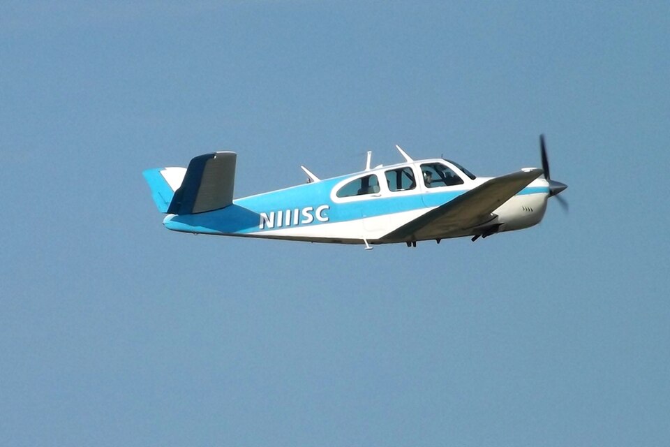
Accident Overview
The accident occurred while the flight was conducting a VHF Omni Range (VOR) instrument approach to the destination airport. Radar track data provided details of the flight path during the approach.
Flight Path
According to radar data, the airplane passed the VOR at an altitude of 2,800 feet. After passing the VOR, the airplane turned right and became established on an approximate magnetic course of 017 degrees. The published final approach course was 341 degrees. The airplane then entered a left turn, followed immediately by a right turn, until the final radar data point. Altitude returns indicated that the pilot initiated a descent from 2,800 feet upon passing the VOR. The airplane descended through 2,000 feet during the initial right turn and reached a minimum altitude of 1,400 feet. The altitude at the final data point was 1,600 feet. The minimum descent altitude (MDA) for the approach procedure was 1,720 feet. The initial impact point was located about 0.18 nautical miles from the final radar data point, at an approximate elevation of 1,235 feet.
Weather Conditions
Weather data indicated the potential for moderate turbulence and low-level wind shear in the vicinity of the accident site. Additionally, icing potential data indicated that the pilot likely encountered severe icing conditions during descent and approach. The pilot had obtained a preflight weather briefing, during which the briefer advised of current Airman's Meteorological Information advisories for moderate icing and moderate turbulence along the route of flight. The briefer also provided several pilot reports for icing and turbulence.
Postaccident Inspection
A postaccident inspection of the airframe and engines did not reveal any anomalies associated with a preimpact failure or malfunction.
Probable Cause
The probable cause of the accident was the pilot's continued flight into adverse weather, and his failure to maintain altitude during the instrument approach. Contributing factors were the presence of severe icing, moderate turbulence, and low-level wind shear.