History of Flight
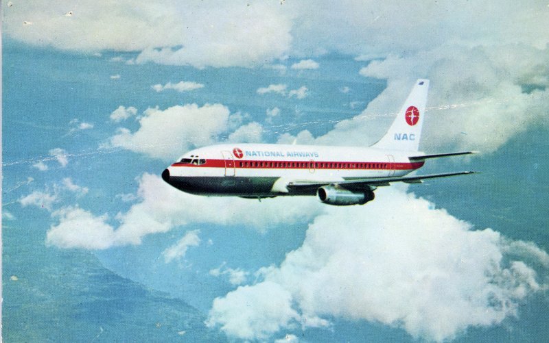
On March 20, 2012, at 0830 central daylight time, a Boeing 737-7H4, registration N247WN, operating as Southwest Airlines Flight 162, encountered turbulence during cruise flight near Laverne, Oklahoma. The flight was conducted under 14 Code of Federal Regulations Part 121. The flight crew, two flight attendants, and 137 passengers were not injured; one flight attendant sustained serious injuries. The airplane was not damaged. An instrument flight rules (IFR) flight plan was filed for the flight, which departed Tampa International Airport (TPA) at 0653 eastern daylight time and was destined for Phoenix Sky Harbor International Airport (PHX).
According to Southwest Airlines, the airplane encountered three turbulence jolts during cruise. The aft galley flight attendant was injured while attempting to get seated and strapped into the jump seat when another turbulence jolt occurred. The flight attendant was able to perform required safety duties for the remainder of the flight but reported significant back pain upon arrival in Phoenix. She was not transported to a hospital. On March 22, the flight attendant informed the company that she had been diagnosed with a rib fracture.
In statements submitted by the flight attendants, they reported a long duration of turbulence during cruise. When the turbulence diminished, the seatbelt sign was turned off. They got up, and turbulence resumed. As two flight attendants in the back of the airplane attempted to secure themselves in the aft jump seats, one was thrown across the galley and hit her back and ribs on an object.
Flight Recorder Data
Data from the flight data recorder (FDR) showed the airplane climbed to flight level 380 shortly after departure. Around 0824, winds aloft speed calculated by the flight management computer (FMC) was about 140 knots from about 160 degrees true. For about five minutes at flight level 380, vertical accelerations fluctuated between about 0.75g and 1.2g; lateral accelerations fluctuated between about +/- 0.05g. At 0827, the airplane descended from flight level 380 to flight level 340. Shortly after the descent began, fluctuations in vertical and lateral accelerations decreased, fluctuating between 0.997g and 1.004g and +/- 0.01g, respectively. After nine minutes at flight level 340, during a period of otherwise decreased accelerations, the vertical acceleration varied from about 0.255g to 1.7g within a one-second period at 08:38:20. About 20 minutes after this vertical acceleration encounter, the FMC calculated a decrease in winds aloft at flight level 320 to under 30 knots for about 12 minutes; during this period, the winds aloft shifted from about 160 degrees true to 340 degrees true.
Because the event was not determined to be an accident until two days later, the cockpit voice recorder information was overwritten by normal use.
Meteorological Information
A senior meteorologist completed a weather study. A 250-hectopascal (hPa) analysis chart from the Storm Prediction Center valid for 0700 central daylight time identified a portion of a jet stream stretching north from central Texas into Canada. A jet streak (localized regions of very fast winds embedded within the jet stream) was identified near the accident location with southerly wind magnitudes greater than 150 knots. Calculations by the Rawinsonde Observation Program (RAOB) indicated the potential for significant clear-air turbulence between about 36,000 and 40,000 feet.
An Airmen's Meteorological Information (AIRMET) advisory for moderate turbulence between FL220 and FL430 was issued at 0525 CDT and was active for the accident location at the accident time. A Significant Meteorological Information (SIGMET) advisory for occasional severe turbulence between FL330 and FL380 was issued at 0526 CDT for an area west of the accident location; this SIGMET was valid until 0926 CDT.