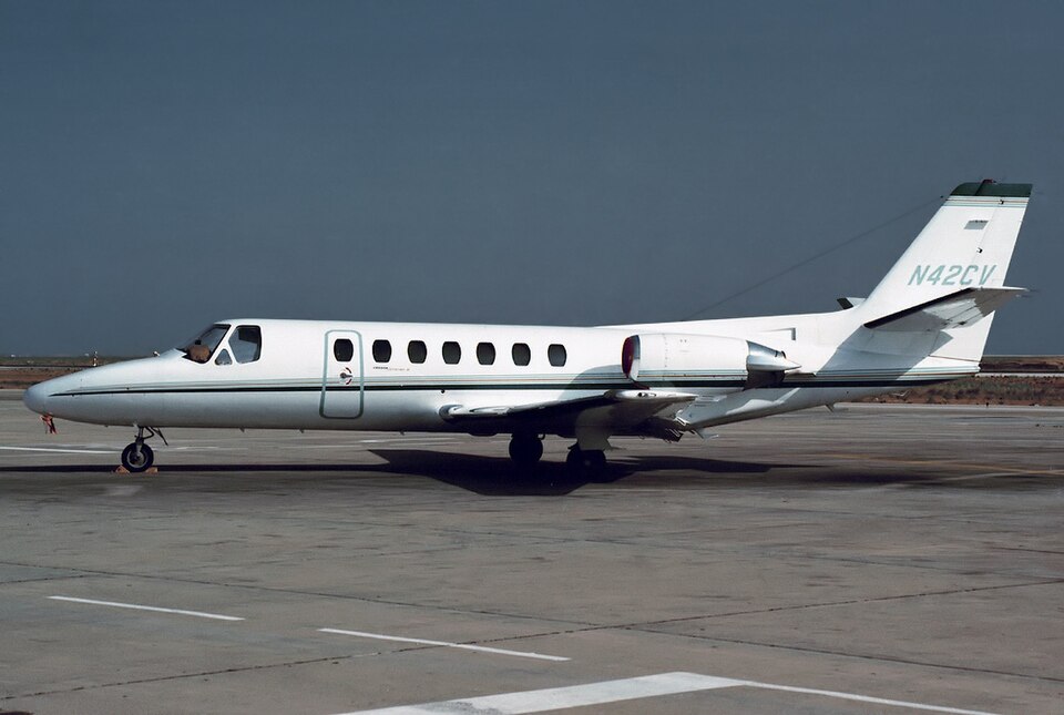
Accident Overview
A personal flight experienced a loss of control shortly after departure from Lafayette Regional Airport/Paul Fournet Field (LFT), Lafayette, Louisiana. The airplane entered instrument meteorological conditions (IMC) at approximately 200 ft above ground level (AGL). The pilot had received an instrument flight rules (IFR) clearance from air traffic control (ATC) before takeoff, instructing a right turn to a heading of 240° and a climb to 2,000 ft mean sea level (MSL).
Flight History
Automatic dependent surveillance-broadcast (ADS-B) data began recording at 0920:05, showing the airplane climbing through 150 ft MSL. Performance calculations indicated a slight right turn toward the assigned heading and a climb rate varying between 1,000 and 2,400 ft per minute. Airspeed increased from approximately 151 to 165 knots. At 0920:13, the airplane began rolling back toward wings level; seven seconds later, it rolled through wings level and toward the left while tracking 232° at 474 ft and 165 knots. The airspeed remained near 165 knots for about 10 seconds before increasing again, while the airplane continued a steady left roll at an average rate of about 2° per second.
Accident Sequence
At 0920:40, the airplane reached a peak altitude of 925 ft MSL while tracking 200°, with a bank angle of approximately 35° left and airspeed of 169 knots. The airplane then began to descend as the left roll continued. At 0920:55, airspeed peaked at about 197 knots before decreasing. By 0920:57, the airplane descended through 320 ft at a rate of 2,500 ft per minute, reaching a bank angle of 75° left. At 0920:58, ATC issued a low altitude alert, advising the pilot to check the airplane's altitude; no response was received. The last ADS-B data point at 0920:59 showed the airplane descending through 230 ft MSL at a flightpath angle of about -7°, an airspeed of 176 knots, and a rate of descent of 2,300 ft per minute.
Wreckage and Impact
The airplane struck trees and power lines before impacting the ground, then traveled across a parking lot and struck a car. The car rolled several times and came to rest inverted at the edge of the parking lot; a postcrash fire ensued. The airplane continued, shedding parts, and came to rest at the far end of an adjacent field. The surviving passenger told a local police officer that "the plane went straight up and then straight down."
Probable Cause
The pilot's loss of airplane control due to spatial disorientation during the initial climb in instrument meteorological conditions.