Flight History
The flight departed from the North Carolina Baptist Hospital in Winston Salem. It arrived from the northeast and was vectored for an instrument landing system (ILS) approach to runway 23. The final vector was a heading of 240 degrees, which was insufficient to intercept the localizer. The pilot was cleared for the approach and instructed to maintain 7,000 feet until established on the approach.
Radar Data
Recorded radar data shows that the flight did not intercept the localizer. Instead, it paralleled the localizer on a southwest course, maintaining 7,000 feet and remaining one mile left of the localizer. The aircraft continued this course until it was abeam of the runway departure end. It then began to descend, turned to the northwest, crossed the extended runway centerline, and proceeded outbound from the runway on approximately a 230-degree course. The last recorded radar position was about five miles southwest of the airport at an altitude of 4,100 feet.
Accident Site
The accident site was on a mountain approximately 7.5 miles southwest of the airport, at an elevation of 3,400 feet above mean sea level.
Witness Report
A witness reported that before he heard the crash, he could not see the aircraft because the mountain was obscured by fog.
Instrument Approach Procedure
Both navigation radios were set to the localizer frequency. The published instrument approach procedure shows a glideslope intercept altitude of 5,000 feet, and the decision height was 3,157 feet.
Aircraft Information
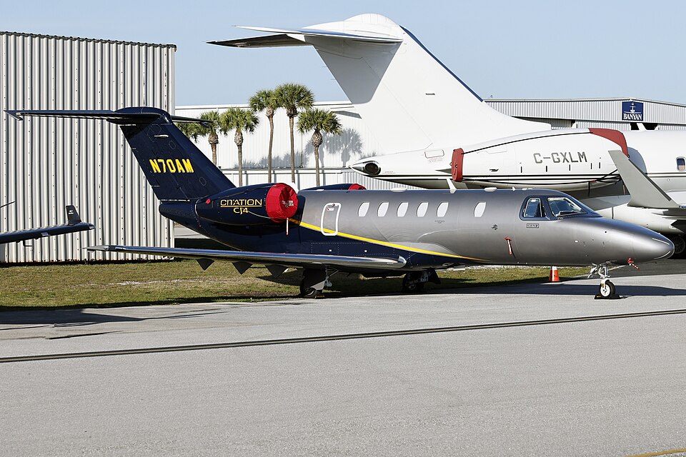
The aircraft was operated by Air Methods Corporation.