Casualties unknown

1999-02-04: North American T-28B (N628B) — Joshua Tree, CA

Joshua Tree, CA, US

On February 4, 1999, a North American T-28B (registration N628B) was involved in an aviation accident near Joshua Tree, CA. Investigators recorded the probable cause as: The pilot's decision to attempt flight into an area of known adverse weather and the subsequent inadvertent VFR flight into IFR conditions resulting in an in-flight collision with mountainous terrain. This summary draws on records from the U.S. National Transportation Safety Board (NTSB) historical archive.

Sourcesthe U.S. National Transportation Safety Board (NTSB) historical archivePrimary reportUpdated 1781061362Data APIEditorial standards
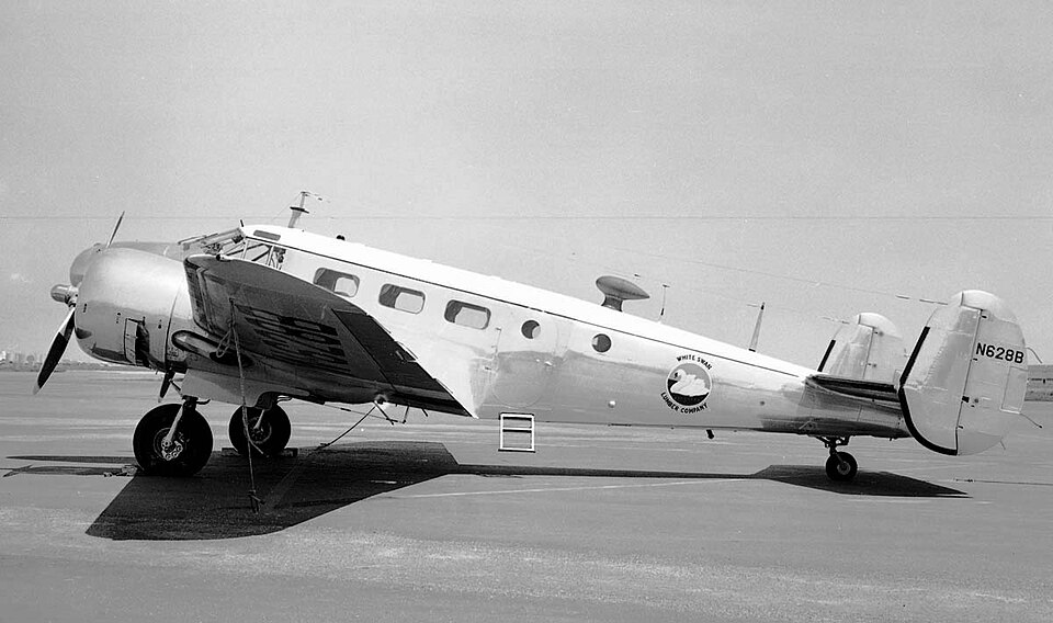
Aircraft registered N628B
Aircraft registered N628B. Photo: Bill Larkins / CC BY-SA 2.0, via Wikimedia Commons

Two aircraft on a formation flight were found on a mountain slope after failing to arrive at their destination. Weather conditions included mountain obscuration and low ceilings, with the lead aircraft impacting 250 feet below a ridgeline and wingman higher up.

The Incident

Two aircraft were flying in a two-aircraft formation, with one designated as the lead and the other as the wingman. The flight did not arrive at its intended destination, prompting a search operation. Both aircraft were subsequently located on a mountain slope at an elevation of 5,300 feet mean sea level (MSL). The lead aircraft struck the slope approximately 250 feet below a ridgeline. The wingman was found about 220 feet further up the same slope, offset 30 feet to the right of the lead's position.

Weather Conditions

Before departure, the pilot of the lead aircraft received a preflight weather briefing that included an AIRMET for mountain obscuration throughout the planned flight area. The area forecast indicated broken ceilings at 1,500 to 2,500 feet and a second broken layer at 3,000 to 5,000 feet. At the accident site, park service rangers reported overcast clouds with the tops of mountains intermittently obscured by clouds, snow, and light rain. Scattered clouds locally obscured lower terrain. The nearest weather reporting station, located 17 miles from the accident site, reported an overcast cloud layer at 5,300 feet MSL.

Investigation report by the U.S. National Transportation Safety Board (NTSB) historical archive. Original record: https://carol.ntsb.gov/event/20001205X00245. This page is a structured re-presentation; facts and quotes are in the National Transportation Safety Board (NTSB), United States.