Flight History
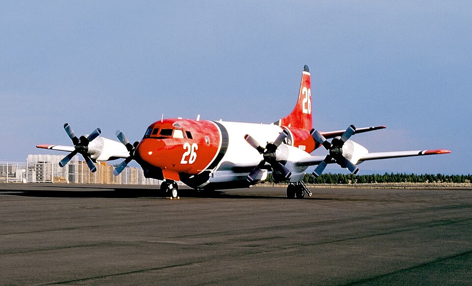
On the day of the accident, the air tanker airplane had completed nine flights totaling 5 hours and 46 minutes. These flights were conducted to provide recurrent training for pilots scheduled to perform fire-fighting operations for the United States Department of Agriculture Forest Service (USFS) during the upcoming fire season. Pilots aboard the earlier flights reported no mechanical issues. The accident flight was the tenth and final flight of the day, also a training mission involving practice water drops over rugged mountainous terrain north of the airport. On board were the captain, copilot, and the company's Chief Pilot, who was providing instruction and had been present on all previous flights.
Accident Sequence
Radar data indicated that the flight departed the airport and traveled approximately 10.5 nautical miles north before beginning maneuvers consistent with practice water drops. The airplane entered a right-hand racetrack pattern oriented northeast-southwest, with practice drops appearing to occur on the southwest leg. During the last minute of flight, the aircraft was on the northeast leg, ascending a northeast-southwest oriented valley with uphill terrain to the northeast. The flight path initially stayed near the valley's center but began deviating toward the rising eastern terrain in the final 36 seconds. The last two radar returns placed the airplane at an altitude less than 100 feet above ground level. After completing about 1.75 circuits of the racetrack, radar data ended with the airplane at 2,900 feet msl heading northeast. The initial impact point was located about 2,150 feet northwest of the last radar data point at an elevation of approximately 2,450 feet msl, indicating a left descending turn of about 90 degrees between the final radar hit and impact. No distress calls were received. Witnesses reported seeing a fireball at the time of the accident.
Wreckage Examination
Examination of the wreckage site revealed that the airplane impacted on a magnetic heading of approximately 304 degrees in a 40-degree left bank, with the left wingtip striking first. The aircraft was severely fragmented, and a post-crash fire destroyed most of the structure and surrounding vegetation. All remnants of the airplane were accounted for. No evidence of pre-existing structural failures or foreign object impacts was found. All four engines and propellers were located at the site; the engines showed no signs of uncontainment, case rupture, or pre-impact fire. Damage to compressor and turbine rotors was consistent with engine operation at impact, and cockpit engine gauges indicated all four engines were producing about 2,200 shaft horsepower at that time. The airplane was not equipped with a cockpit voice recorder or flight data recorder, which was not required by Federal Aviation Regulations.
Cause Determination
Review of maintenance records revealed no chronic issues or system anomalies that would have contributed to the accident. The reason for the in-flight collision with terrain could not be determined.