Accident Synopsis
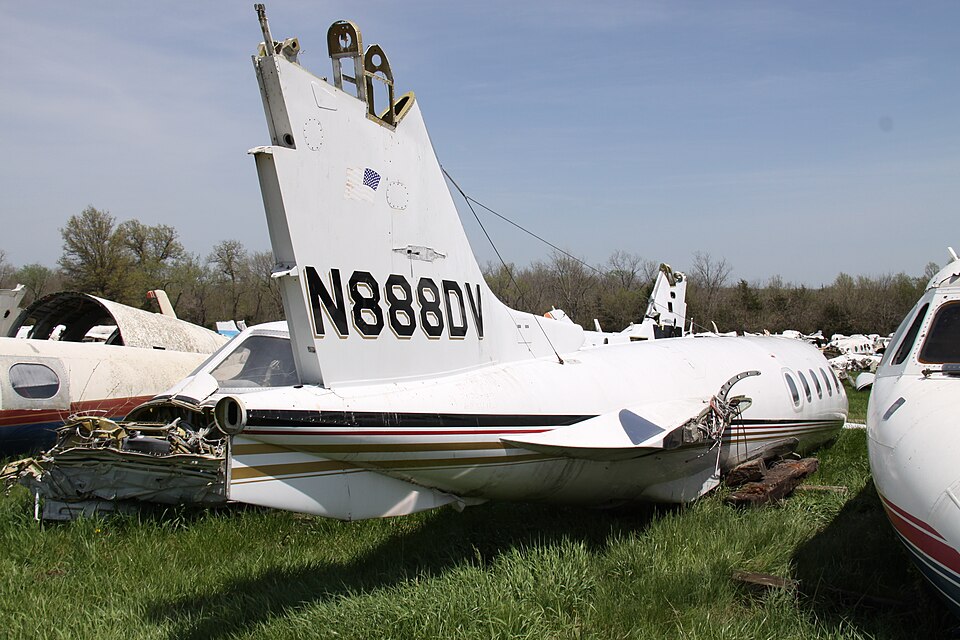
On September 15, 2021, at 2046 eastern daylight time, a Robinson R66 helicopter, registered as N888DV, was destroyed when it crashed in the Oconee National Forest near Monticello, Georgia. The helicopter was being operated as a Title 14 Code of Federal Regulations Part 135 on-demand charter flight. The commercial pilot, a pilot-rated passenger, and one revenue passenger sustained fatal injuries.
Flight History
The flight originated at Fulton County Executive Airport/Charlie Brown Field (FTY) in Atlanta, Georgia, around 0700. It proceeded south with a stop in Reidsville, Georgia, before continuing to Finlayson Farm Airport (9FL8) in Greenville, Florida. After staying several hours, the helicopter departed under visual flight rules for the return trip. The flight landed at Thomasville Regional Airport (TVI) in Thomasville, Georgia, where it refueled with 40 gallons of fuel. ADS-B data showed the flight departed TVI at 1840, tracking north.
Approximately 80 nautical miles later, near Andersonville, Georgia, at 1937, the passenger's spouse received a text message from the passenger stating they had landed in a field due to a storm. A photograph sent with the message showed gray skies and rain. The helicopter then proceeded north, followed a powerline right-of-way, reversed course, and later landed at Perry-Houston County Airport (PXE) around 2015. Five minutes later, the helicopter continued north along Interstate 75, passing west of downtown Macon and east of a large powerplant before entering the Piedmont National Wildlife Refuge. The passenger sent additional text messages, including a weather radar screenshot.
At about 2043, the helicopter made several track changes. In the final 25 seconds, while at 1,650 feet above mean sea level, it entered a rapidly descending right turn with a vertical descent rate nearing 4,000 feet per minute. ADS-B signal was lost at 2046. The helicopter collided with trees and terrain at an elevation of 570 feet. A witness reported hearing a low-flying helicopter and described the weather as "very rainy."
Meteorological Information
Weather conditions at nearby airports included low ceilings and rain. Covington Municipal Airport reported wind from 090° at 5 knots, 5 statute miles visibility, moderate rain, scattered clouds at 500 ft, and an overcast ceiling at 11,000 ft. Thomaston-Upson County Airport reported overcast 500 ft with moderate drizzle. Middle Georgia Regional Airport reported light rain with broken clouds at 8,500 ft. The National Weather Service Doppler radar showed echoes of 20 to 37 dBZ along the flight track, with an isolated cell of 53 dBZ about 4 miles from the accident site. No lightning was detected within 25 miles. The terminal aerodrome forecast for Middle Georgia Regional Airport indicated marginal VFR conditions with light rain and mist. Sunset occurred at 1941 and civil twilight ended at 2005. No flight plan was filed, and it could not be determined if the pilot obtained a weather briefing.
Wreckage Examination
The helicopter entered trees on a heading of about 145° at a steep downward, right bank angle. A 2-ft deep by 6-ft-wide crater was formed at impact. The debris field extended approximately 150 ft southeast through densely wooded, hilly terrain. All major components were located within the area. A 24-inch tip of one main rotor blade separated. The cockpit and cabin were severely damaged by impact and post-impact fire. The main rotor gearbox was separated and fractured. Examination of the engine showed no pre-impact failures; the fuel spray nozzles had normal carbon coating and turbine blades were intact. The flight control system exhibited no pre-impact malfunctions. The engine monitoring unit was destroyed by fire and no data could be retrieved.
Medical Information
An autopsy of the pilot revealed the cause of death as multiple blunt impact injuries. Toxicology testing detected ethanol at 0.019 g/dL in muscle tissue but not in kidney tissue; no other drugs were detected. No blood was available for testing.