What happened
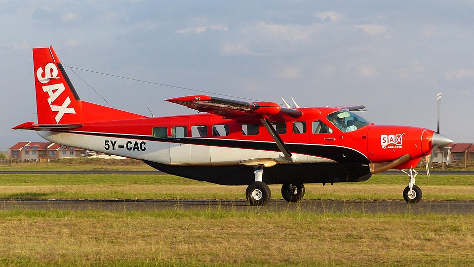
On June 5, 2018, a Cessna 208B Grand Caravan, registration 5Y-CAC, operated by East African Safari Air Express Ltd, crashed into the mountainous terrain of the Aberdare Ranges, Kenya. The aircraft was performing a scheduled commercial flight from Kitale Airstrip to Jomo Kenyatta International Airport (JKIA).
During the flight, the aircraft was operating under instrument flight rules (IFR) amidst challenging weather conditions. At approximately 1702 hours, the aircraft impacted the steep, bamboo-covered terrain near Elephant Hill. The impact resulted in 10 fatalities, including both the pilot and first officer, as well as eight passengers. The aircraft was destroyed upon impact.
The investigation
The Aircraft Accident Investigation Department (AAID) conducted an inquiry into the circumstances leading to the crash. Investigators examined the aircraft's flight history, noting that the crew had elected to fly directly to JKIA rather than their usual destination of Wilson Airport to accommodate passengers' international connections.
Technical analysis involved recovering the Terrain Awareness and Warning System (TAWS) and the GPS receiver, which were sent to Canada for data extraction. The investigation also scrutinized the aircraft's maintenance records, which showed the plane was well-maintained and compliant with regulations. Furthermore, the investigation looked into the Emergency Locator Transmitter (ELT), which failed to transmit a signal because it was dislodged from its mounting during the impact due to a loosely fastened strap.
Findings
- The flight crew was operating in instrument meteorological conditions (IMC) within mountainous terrain.
- The aircraft was maintained at Flight Level 110, which was below the published Minimum Sector Altitude required by the Standard Instrument Arrival Chart.
- The crew failed to execute an immediate escape maneuver after receiving an aural alert from the Terrain Awareness and Warning System (TAWS).
- The terrain database within the TAWS was significantly outdated, dating back to 2008.
- The operator lacked adequate procedures for flight release and risk assessment, and there was no documented requirement for crew training in CFIT avoidance.
- The radar controller lacked sufficient situational awareness during the monitoring of the flight.