Introduction
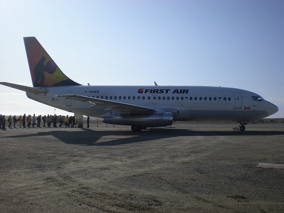
On a charter flight from Yellowknife (CYZF) to Resolute Bay (CYRB), First Air Flight 6560 (FAB6560), a Boeing 737-210C combi aircraft, crashed approximately 1 nautical mile east of the midpoint of the CYRB runway during a go-around. The aircraft carried 11 passengers, 4 crew members, and freight. The flight departed Yellowknife at 1440 at a planned cruise altitude of flight level 310 and an estimated flight time of 2 hours 5 minutes.
Flight History
The instrument flight rules (IFR) flight was cleared via a route that included the BOTER intersection, Cambridge Bay NDB, and a direct segment to CYRB. The alternate airport was Hall Beach. Before departure, the crew received an operational flight plan with weather and NOTAM information. During the climb, the crew discussed deteriorating weather at CYRB with a company dispatcher, agreeing to continue to CYRB. At 1616, the crew programmed the GPS to proceed to the MUSAT waypoint for the RNAV approach, planning to transition to an ILS/DME approach for Runway 35.
Approach and Accident
After descending from FL310 at 1623:40, the crew coordinated with air traffic control and the CYRB terminal controller, who noted poor radio readability initially. The crew reported 10 nm final at 1638:32, after turning left before MUSAT, approximately 600 feet above the glideslope. The tower cleared the flight to land and instructed them to report 3 nm final. At 1641:30, the crew reported 3 nm final, and the tower cleared them to land, advising wind 150° true at 7 knots. The crew's response was cut off, and no further communication occurred. At 1641:51.8, during a go-around, the aircraft collided with terrain at 396 feet above mean sea level. The accident occurred in daylight. Four crew members and eight passengers were fatally injured; three passengers survived and were rescued by Canadian military personnel participating in Operation NANOOK.
Probable Cause
The official investigation identified the following causes and contributing factors: 1. The late initiation and subsequent management of the descent resulted in the aircraft turning onto final approach 600 feet above the glideslope, increasing the crew’s workload and reducing their capacity to assess and resolve navigational issues during the remainder of the approach. 2. When the heading reference from the compass systems was set during initial descent, there was an error of −8°; for undetermined reasons, further compass drift during the arrival and approach resulted in compass errors of at least −17° on final approach. 3. As the aircraft rolled out of the turn onto final approach to the right of the localizer, the captain likely made a control wheel input to correct to the left; however, given the large heading error, the correction increased the deviation.