Ultralight Crash in Chonburi Kills Pilot Due to Wing Fabric Failure
An X-AIR HAWK ultralight crashed in Chonburi, Thailand, killing the pilot and injuring a passenger. The accident was caused by deteriorated wing fabric and…
On November 19, 2018, a Robinson R44 (registration ZS-RPV) was involved in an aviation accident near GPS coordinates: 33°53’54.4” South, 022°22’18.3” East, ZA. Investigators recorded the probable cause as: The helicopter experienced a sudden downdraft at low level and lost translational lift during landing and impacted with a protruding rock on the top of the mountain. This summary draws on records from the South African Civil Aviation Authority (SACAA) Accident and Incident Investigations Division; 6 related events involving the same aircraft type or operator are linked below.
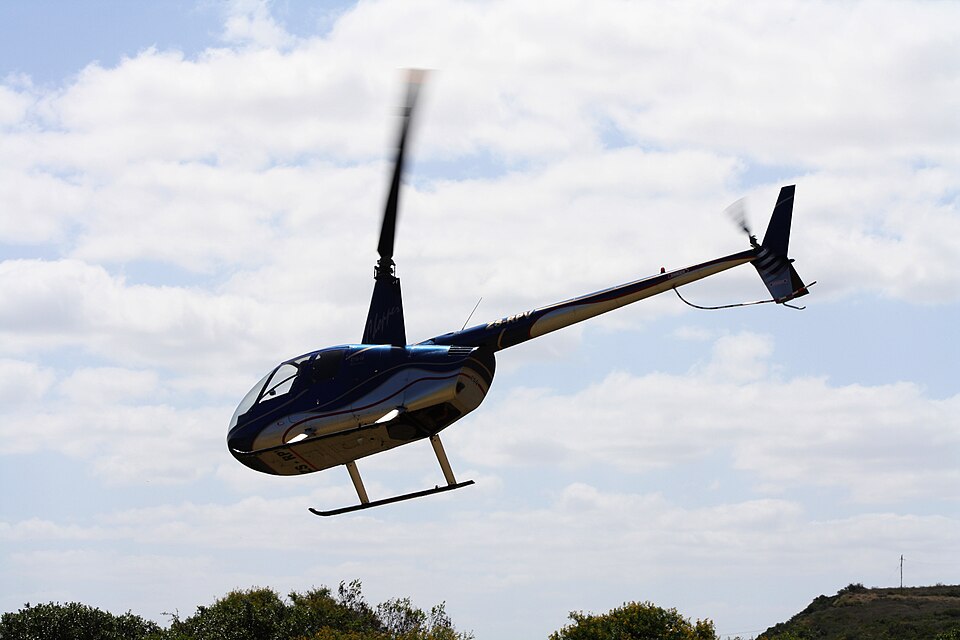
On 19 November 2018, Robinson R44 ZS-RPV landed hard on Geelhoutboom Mountain due to turbulence. The helicopter was substantially damaged, but the pilot and passenger were uninjured.
The helicopter experienced a sudden downdraft at low level and lost translational lift during landing and impacted with a protruding rock on the top of the mountain.
An X-AIR HAWK ultralight crashed in Chonburi, Thailand, killing the pilot and injuring a passenger. The accident was caused by deteriorated wing fabric and…
A Challenger II Special ultralight aircraft (U-B23) landed off-runway at Pai Airport, Mae Hong Son, on September 17, 2024, due to a gust of wind. No injuries…
The Polish aviation safety authority is investigating a serious incident involving an AT-3R100 aircraft that occurred on September 2, 2024. The investigation…
A SZD-48-3 glider suffered damage when its left wing struck a ground obstacle during a low final approach at EPWK on June 20, 2025. The pilot was uninjured.
A 39-year-old skydiver died after a hard landing near Leszno on May 1, 2026. The PKBWL preliminary report indicates the fatal impact resulted from a late,…
A student pilot crashed an SZD-50-3 Puchacz glider into the airfield fence during a solo training flight on June 6, 2026. The pilot was uninjured, but the…