Incident Overview
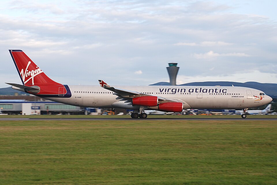
On 27 April 2008, at 0218 UTC, Airbus A340-313 registration G-VAIR was involved in a serious incident during landing at Nairobi Airport, Kenya. The aircraft, manufactured in 1997 and powered by four CFM56-5C4 turbofan engines, was operating a commercial passenger flight from London Heathrow to Nairobi. There were 14 crew and 108 passengers on board; no injuries were reported.
Flight History
The flight was uneventful until the landing. The crew obtained the ATIS for Nairobi before the top of descent, reporting wind from 040° at 3 kt, visibility 7 km, broken cloud at 1,600 ft, temperature and dewpoint 15°C, and QNH 1020. They conducted an RNAV approach for Runway 06. During the approach, ATC advised that an aircraft ahead reported landing visibility of 3,000 m and a cloudbase of 300 ft. The first officer was the pilot flying (PF). The autopilot and autothrottle remained engaged.
The crew became visual with the runway between 300 ft and 200 ft. At the decision height of 200 ft, both pilots saw all approach lights and a good section of runway lights. The autopilot was disconnected at 100 ft radio altitude, and the PF began flaring between 75 ft and 50 ft. The aircraft floated at around 20 ft for a few seconds before entering an area of fog. The PF lost sight of the right side of the runway and lights; the commander also lost that visual reference.
The aircraft touched down normally on the main gear only; body and nose gear did not contact the ground. The commander saw left runway edge lights moving rapidly closer before losing them completely, only aware of their position by the glow illuminating the fog. He called "GO AROUND," and the PF advanced thrust levers to full thrust within one second. G-VAIR became airborne after about five seconds on the ground. The gear retracted normally, and the crew climbed to 9,000 ft to hold. They suspected a departure from the left side of the runway.
Airport staff confirmed a single set of landing gear marks off the left paved surface. The crew diverted uneventfully to Mombasa and landed in day VMC.
Ground Marks and Damage
Nairobi Airport staff measured ground marks believed to be from G-VAIR's main gear, starting 800 m from the threshold of Runway 06. The left set continued on the runway for 160 m, passed over a runway light, then continued off the paved surface, running approximately parallel to the runway for 180 m. The right marks did not leave the paved surface but were on the paved shoulder, stopping 5 cm from the edge.
Aircraft inspections revealed mud spray on the fuselage and left horizontal stabilizer. After washing, minor scratches (paint chips and abrasions) were found on the lower left fuselage, within limits. The outboard left aft wheel on the left main gear had slight sidewall damage but was within limits; it was replaced as a precaution. One runway edge light was destroyed.
Airfield Information
Runway 06 at Nairobi is declared as 4,117 m long by 45 m wide, with grooved asphalt surface and 7.5 m asphalt shoulders (total paved width 60 m). The runway edge lighting is positioned at the edge of the paved area (7.5 m from the declared runway strip), which appears to vary from ICAO Annex 14's 3 m maximum. The touchdown zone was heavily contaminated with rubber deposits, partially obscuring centreline markings. These deposits may reduce available friction and braking action. No centreline lighting was present; it was not required by ICAO Annex 14.
Weather and Recorded Data
An Automated Weather Observation System (AWOS) at Nairobi recorded a minimum RVR of 550 m at the time of G-VAIR's arrival. The system's memory was downloaded after the event. Flight Data Recorder and Quick Access Recorder data were successfully recovered and were being analysed. The Cockpit Voice Recorder recording of the incident landing was overwritten despite preservation attempts.
Continuing Investigation
The AAIB investigation, with participation from Kenya (AAID), the UK (AAIB), France (BEA), Airbus, and the operator, was ongoing at the time of the bulletin. The investigation would continue to examine runway surface condition, visibility of markings, lighting condition, the difference between AWOS RVR and the RVR passed to the crew, the effect of light luminescence, and the impact of loss of visual references on the flight crew's ability to conduct rejected landings at low heights. Reasons for the CVR overwrite were also to be assessed.
Probable Cause
The AAIB Special Bulletin did not state a probable cause. The investigation was ongoing.