Flight History
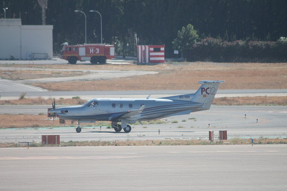
On 2 June 2010 at 14:11 UTC, the pilot of a Pilatus PC12 (registration EC-ISH) contacted the en-route southwest ATC Centre at Bordeaux, reporting stable at FL270. The flight was from Buochs (Switzerland) to San Sebastian (Spain). At 14:15, the pilot informed ATC that one altimeter indicated FL270 and the other FL290, and requested assistance to resolve the altitude uncertainty. The controller contacted the military coordination and control centre (Marengo) for a primary radar check, but only secondary radar was available. At 14:19, military ATC reported the PC12 at FL270 based on Mode C readout.
Meanwhile, an Airbus A318 (registration F-GUGJ) operated by Air France was climbing towards FL230. Cleared to FL290 on the same route, the A318 was about 170 kts faster than the PC12. At 14:30, the PC12 pilot reported that an Air France aircraft had passed very close, questioning the altitude provided by military. The A318 crew stated they performed an avoidance manoeuvre to the left after feeling oscillations and seeing the other aircraft close by.
Aircraft Information
The A318 was in public transport of passengers, while the PC12 was a private ferry flight. Both flights were under IFR in VMC conditions with clear sky and visibility over 10 km. The PC12 had two barometric and speed units: the left side indicated FL270 and 90 kts, the right side indicated FL290 and 160 kts. According to the flight manual, at FL290 and maximum cruise, the indicated airspeed should be 158 kts, consistent with the right unit. The crew used GPS altitude (27,000-29,000 ft) but could not resolve the discrepancy.
Crew Testimonies
The A318 crew reported encountering slow roll oscillations of about 5 degrees for 5 seconds. The co-pilot saw the PC12 very close, slightly above and to the right, and disconnected the autopilot to descend about 200 feet while passing. The PC12 pilot, accompanied by another CPL holder, stated that during initial climb they noticed a slight altimeter variation. They considered returning but decided to continue due to good forecast conditions. After the incident, they used the right-side unit for the remainder of the flight.
ATC Communication
ATC controllers had only secondary radar data. The military relayed that the PC12 was at FL270. After the near miss, the PC12 pilot requested descent to a safe level. The minimum separation could not be measured from radar recordings as the plots merged. Crews estimated 15-30 metres horizontally and about 100 feet vertically. No Short Term Conflict Alert (STCA) or TCAS alerts occurred on either aircraft.